UN's New Map Shows Arunachal, Aksai Chin as Separate Regions Between India, China; MEA Clarifies Position
- The United Nations released a new world map under the 'Correct the Map' resolution, showing Arunachal Pradesh and Aksai Chin as separate regions positioned between Indian and Chinese claim lines without explaining the changes.
- India voted in favor of the UN General Assembly's 'Correct the Map' resolution, which promotes equal-area cartographic representation but does not endorse any specific map or political boundaries.
- India maintains that Arunachal Pradesh and Aksai Chin are integral parts of its territory and has clarified that its support for the resolution should not be interpreted as approval of the UN map's territorial depictions.
14 Articles
14 Articles

Equal area maps project or preserve the relative sizes of continental landmarks: India backs UNGA resolution - The Tribune
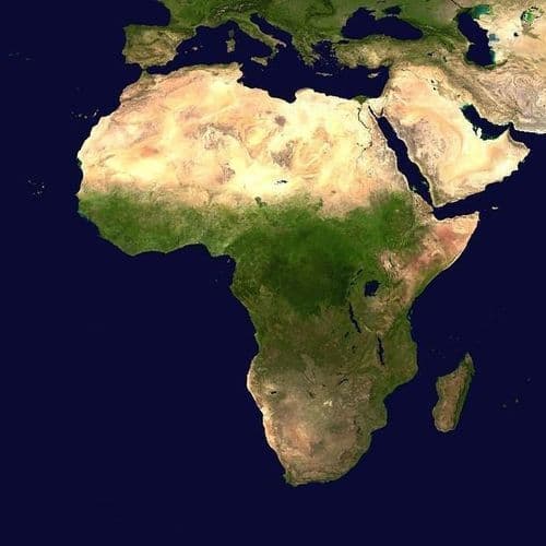
India on Tuesday emphasised that equal-area map projections are essential to preserving the true relative sizes of continental landmasses, following the United Nations General Assembly's adoption of the resolution titled “Correct the Map: Rebalancing Global Cartographic Representation and Promoting Equitable Representation of the World’s Regions, Particularly Africa”.

India flags anomalies in new UN map depicting Arunachal, Aksai Chin
India has taken up with the United Nations a world map that shows Arunachal Pradesh and Aksai Chin as separate regions. New Delhi said its backing for the equal-area maps resolution did not endorse any border depiction and reaffirmed its territorial position.


Arunachal Pradesh, Aksai Chin Depicted Separately in UN Map Amid India-China Border Dispute
A United Nations map triggered renewed discussion in India about its disputes with China over border territories. The latest version of the map shows a different picture of disputed territories of Arunachal Pradesh and Aksai Chin than what New Delhi has traditionally shown.The map published by the UN on the occasion of the General Assembly's consideration of resolution 73/152 (Correct the Map) o

New UN Map Projects Arunachal Pradesh, Aksai Chin Outside Indian Borders
The United Nations General Assembly last week adopted an African Union-backed resolution titled "Correct the Map," calling for more accurate and equitable cartographic representation of the world's regions, particularly Africa.

Coverage Details
Bias Distribution
- 50% of the sources lean Right


Factuality
To view factuality data please Upgrade to Premium