Africa: Rwanda Votes for UN Resolution Backing World Maps That Show True Size of Africa
The measure won 164 votes and encourages schools, institutions and digital platforms to use projections that show Africa’s true scale.
- The United Nations General Assembly passed a resolution on Friday calling for world maps that more accurately represent continent sizes, particularly Africa. The measure, titled "Correct the Map," received 164 votes in favor.
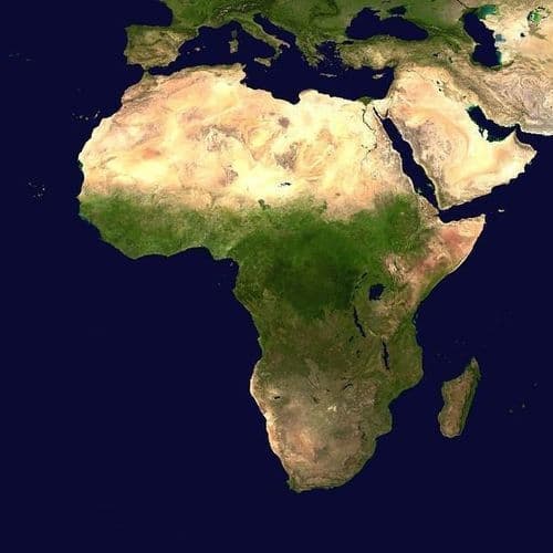
- Initiated by Togo on behalf of the African Group, the initiative challenges the widespread Mercator projection developed by Gerardus Mercator in 1569 for maritime navigation. Africa appears comparable to Greenland on the map, despite being more than 14 times larger in actual area.
- Supporters argue that visual representation influences how people understand geography, development and the relative scale of different regions. The resolution encourages institutions to adopt alternative maps like Equal Earth, which better reflect true continent sizes.
- The United States was the only country to vote against the resolution, citing concerns over an ideological agenda, while the measure does not legally require institutions to replace existing maps or prohibit the Mercator projection.
- Togo plans to be the first country to officially change its own maps, marking a shift in global cartographic representation and aiming to counter perceptions that Africa is peripheral to the world.
21 Articles
21 Articles


On September 4, the UN General Assembly supported a resolution calling for the use of maps that accurately convey the ratio of the areas of countries and continents
On September 4, the UN General Assembly supported a resolution calling for the use of maps that accurately convey the ratio of the areas of countries and continents. 164 countries voted for the document, the United States opposed it, and six...

The United States was the only country that voted against the UN resolution to promote more accurate maps and questioned its political background.


Africa: Rwanda Votes for UN Resolution Backing World Maps That Show True Size of Africa
The United Nations General Assembly passed a resolution on Friday September 4, calling for world maps that more accurately represent the true size of continents, particularly Africa.

Size Matters: Correcting 500 Years Of Africa’s Minimisation
For centuries, the world has looked at Africa through a distorted geographical lens. The familiar world map has made Greenland appear almost as large as Africa, while the continent that can contain the United States, China, India and much of Europe has often been visually reduced. On September 4, 2026, the United Nations General Assembly […]
Coverage Details
Bias Distribution
- 40% of the sources lean Left, 40% of the sources are Center


Factuality
To view factuality data please Upgrade to Premium