Trump posts map with American flag emblazoned over Canada, Greenland, Mexico
The post follows a series of altered maps and renaming claims, with no explanation from Trump and no formal policy change announced.
- On Monday, President Donald Trump shared a map on Truth Social depicting the United States flag covering large portions of North America, including Canada, Mexico, and Greenland.
- The post followed a graphic from September 2, 2026, appearing to rename New Mexico as 'New America,' drawing sharp criticism from state officials without explanation from Trump.
- New Mexico Governor Michelle Lujan Grisham wrote the state's name 'isn't up for debate,' while Representative Melanie Stansbury and Senator Martin Heinrich rejected the renaming, emphasizing they are New Mexicans.
- Trump previously ordered federal agencies on August 27 to rename Lake Ontario as 'Lake America,' while maintaining pressure on Cuba and advocating for US control of Greenland.
- The White House has not announced any formal process to change state or territorial names, and no evidence suggests these graphics reflect actual shifts in United States foreign policy.
184 Articles
184 Articles

President Donald Trump of the United States published a map on Monday, on which the American flag covers most of North America, as well as Iceland and the Caribbean Islands, following Trump's earlier announcement of his intention to take control of territories outside the United States, The Hill writes, and the President's post included a map showing the American flag on the United States, Canada, Mexico and part of Central America, as well as o…

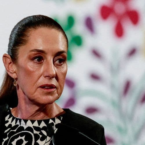
In response to a post by Donald Trump depicting a map of North America covered by the US flag, Mexican president Claudia Sheinbaum defended the independence of her country. (ANSA)

Again and again, the US President coquettes with the incorporation of other countries. Donald Trump has now published a map that strikes Mexico, Canada, Greenland and even a country from Europe to the US.

What remains to be denied him in reality, Trump indulges in his imagination. On the platform Truth Social, the US president publishes a map that shows considerable growth for the US. Mexico immediately comes with a clarification.

Donald Trump has published nearly ten images of maps on Monday in which he gives states and countries new names. One of the images depicts a map where Mexico, Canada, several Caribbean islands, Greenland and Iceland appear to belong to the "United States of America".

Coverage Details
Bias Distribution
- 34% of the sources lean Left


Factuality
To view factuality data please Upgrade to Premium