Published • loading... • Updated
Severe Thunderstorm Watch Issued For Southern Maryland As Damaging Winds, Tornadoes Possible - The BayNet
Forecasters said damaging winds are the main threat, with a 30% to 44% chance of severe thunderstorm winds near some locations.
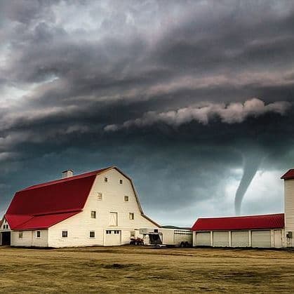
- On Thursday, the National Weather Service Baltimore/Washington office issued a tornado watch for Southern Maryland, including Calvert, Charles, and St. Mary's counties, remaining in effect until 10 p.m.
- A strong cold front moving through the region is triggering numerous thunderstorms, bringing risks of damaging wind gusts and potential flash flooding across Southern Maryland.
- Forecasters estimate a 5% to 9% probability of tornadoes and a 30% to 44% chance of severe thunderstorm winds within 25 miles of a location.
- Boaters on the Chesapeake Bay, Patuxent River, and tidal Potomac River should monitor conditions closely, as Special Marine Warnings are anticipated due to rapidly changing weather.
- While storms may linger into the weekend, fair and tranquil weather is expected to return early next week as high pressure builds into the region.
Insights by Ground AI
10 Articles
10 Articles


Severe Storms Threaten Southern Maryland Thursday
SOUTHERN MARYLAND — Numerous thunderstorms are expected across Southern Maryland Thursday afternoon and evening, with damaging wind gusts possible and storms potentially lingering into the late evening, according to the National Weather Service. The National Weather Service Baltimore/Washington office said thunderstorms are expected to become numerous between about 3 p.m. and 9 p.m. Thursday, Aug. […]

Severe Storms Threaten Delmarva Into The Evening
Delmarva faces a potentially active weather day as a strong cold front brings widespread showers and thunderstorms to the peninsula. Damaging wind gusts, flash flooding and a few tornadoes are possible late this afternoon and evening, with some areas potentially…
·Salisbury, United States
Read Full Article
Coverage Details
Total News Sources10
Leaning Left1Leaning Right1Center4Last UpdatedBias Distribution67% Center
Bias Distribution
- 67% of the sources are Center
67% Center
L 17%
C 67%
R 16%


Factuality
To view factuality data please Upgrade to Premium