Published • loading... • Updated
Satellite Images Before Nepal Disaster Showed Warning Signs
Summary by preventionweb.net
 This story is only covered by news sources that have yet to be evaluated by the independent media monitoring agencies we use to assess the quality and reliability of news outlets on our platform. Learn more here.
4 Articles
4 Articles


Satellite images before Nepal disaster showed warning signs
A team analyzed radar data from European Space Agency’s Sentinel-1 satellites acquired between 8 January and 18 August. The last observation was only seven days before the disaster. Images revealed accelerated glacier-rock movement before the collapse.

Dipesh Chapagain, senior researcher at the United Nations University (UNU-EHS), argues to EFE that events such as the flood on 26 August last "may always cause chain catastrophes."
·Lima, Peru
Read Full Article
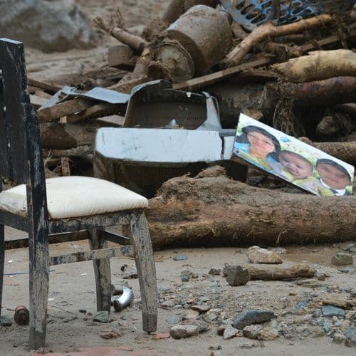
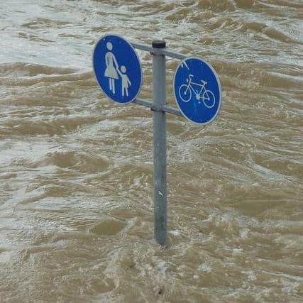
In Nepal on August 26, the death toll from flooding in the Bhotekoshi River rose to 1,252, while efforts are underway to search for 4,875 people missing.
Coverage Details
Total News Sources4
Leaning Left0Leaning Right0Center0Last UpdatedBias DistributionNo sources with tracked biases.
Bias Distribution
- There is no tracked Bias information for the sources covering this story.


Factuality
To view factuality data please Upgrade to Premium